Picture mornings where you step out your door, grab a coffee, and stroll to the pier before work. If you value fresh air, quick errands, and a neighborhood rhythm you can feel on foot, walkable pockets of Manhattan Beach deliver. You want the beach lifestyle without always getting in the car. In this guide, you’ll see what daily life looks like in the city’s most walkable areas, how far you can get on foot, and the tradeoffs to weigh so you can decide if this lifestyle fits you. Let’s dive in.
Walkable living defined
In Manhattan Beach, walkability is specific to place. The most walkable pockets cluster around the downtown and Pier area, the North End along the Strand, and stretches of Manhattan Beach Boulevard, Highland Avenue, and Rosecrans Boulevard. These areas offer the tightest mix of cafes, restaurants, services, and beach access within short walking distances.
Outside those cores, most blocks are low-density residential. Sidewalks are common, but continuous storefronts are not. That means quick coffee or the beach can still be a walk for many addresses, while bigger errands often involve a short drive.
Downtown and Pier life
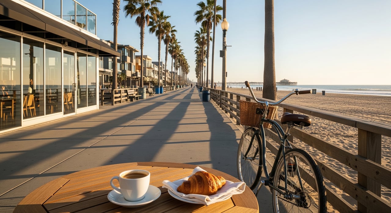
Downtown, centered near the Pier and 13th Street, is the city’s most compact, walk-and-stay-a-while district. You can start the day with a jog or bike on the Strand, meet friends for lunch, and circle back for sunset without moving your car. Public lots and metered parking support visitors, and the streets stay active from morning through evening.
Errands on foot
If you live near the core, many daily tasks fit into a 5 to 15 minute loop. Coffee, casual dining, boutique shopping, a quick market stop, and personal care are within a few blocks. Full-service grocers are usually a longer walk or a short drive, so many residents split grocery runs between nearby specialty shops and occasional larger trips.
Dining and nightlife
Downtown concentrates the widest range of restaurants and bars. Weekends and summer evenings are the liveliest times, with sidewalk energy that peaks around mealtimes and sunsets. You can keep most social plans car-light and finish the night with a beach walk.
North End and the Strand
North of downtown toward the 45th to 54th Street range, beachfront homes and Strand access shape daily routines. Here, you can step onto the multiuse path for morning exercise, drop into local cafes near key intersections, and enjoy a steadier pace year-round. The area around Bruce’s Beach has seen open-space improvements, which add to the walk options for short breaks and sunset strolls.
Compared with downtown, commercial clusters are smaller and spaced out. You still get walkable convenience for coffee, casual food, and the beach, while most larger errands remain a quick drive away.
Main corridors to essentials
Manhattan Beach Boulevard, Highland Avenue, and Rosecrans Boulevard help connect neighborhoods to everyday services. You will find stretches of retail, pharmacies, and restaurants along these routes, along with bus service. If you live within a few blocks of these corridors, you can often handle quick errands on foot and rely on short drives for everything else.
Schools and parks on foot
Manhattan Beach Unified School District serves the city with neighborhood-based attendance areas. Many families in downtown and near-north pockets walk or bike to nearby elementary and middle schools, depending on address. For precise school assignments and routes, review MBUSD attendance boundaries and school profiles on the district’s site and cross-check walking times from your address.
Polliwog Park acts as a civic and cultural hub, with additional neighborhood parks and Strand access points offering daily outdoor options. If you are within the core, these green spaces can be part of a regular walking routine, while addresses farther east may prefer a short drive.
- Explore city maps, mobility info, and park details on the City of Manhattan Beach website for current amenities and rules.
- Review MBUSD boundaries and resources on the Manhattan Beach Unified School District site to confirm walk distances from a specific address.
Getting around town
Walking infrastructure
Sidewalks are continuous in the commercial core and along major streets, and the Strand is the city’s signature pedestrian and bike corridor. Near the Pier you will find marked crosswalks and pedestrian-focused design. In residential areas, crosswalks are less frequent and traffic speeds can be higher on collector streets, so plan crossings with care.
Transit options
Beach Cities Transit provides local bus service that connects Manhattan Beach with nearby South Bay cities and select hubs. It is useful for short local trips, though service is less frequent than in denser parts of Los Angeles and later-evening coverage can be limited. Reaching Metro rail or regional express lines typically involves a transfer or short drive.
- Check current routes and schedules on the Beach Cities Transit website before you plan a commute or school run.
Biking and micromobility
The Strand supports both recreational and commuter cycling, and you will see growing e-bike and scooter use, especially near the beach. The city has bike lanes on several collector streets, and mobility plans outline current and proposed routes. Expect congestion on the Strand at peak times, so build in extra time and practice good path etiquette.
Driving, parking, traffic
If you live outside the walkable cores, short local drives are part of most days. Near downtown and the beach, public lots, metered spaces, and short-term curb parking support visitors and residents. Some residential blocks close to the beach use permit or time restrictions, so confirm current parking management rules.
Traffic patterns shift by season and day. Summer weekends, holidays, and community events bring heavier congestion and fuller lots. Many residents commute outside the city by car, while carpool and transit use are lower than in more transit-rich parts of LA County.
- For parking programs, mobility updates, and event calendars, consult the City of Manhattan Beach website.
- For commute mode shares and timing trends, see the American Community Survey for regional context.
Lifestyle tradeoffs
Housing types and costs
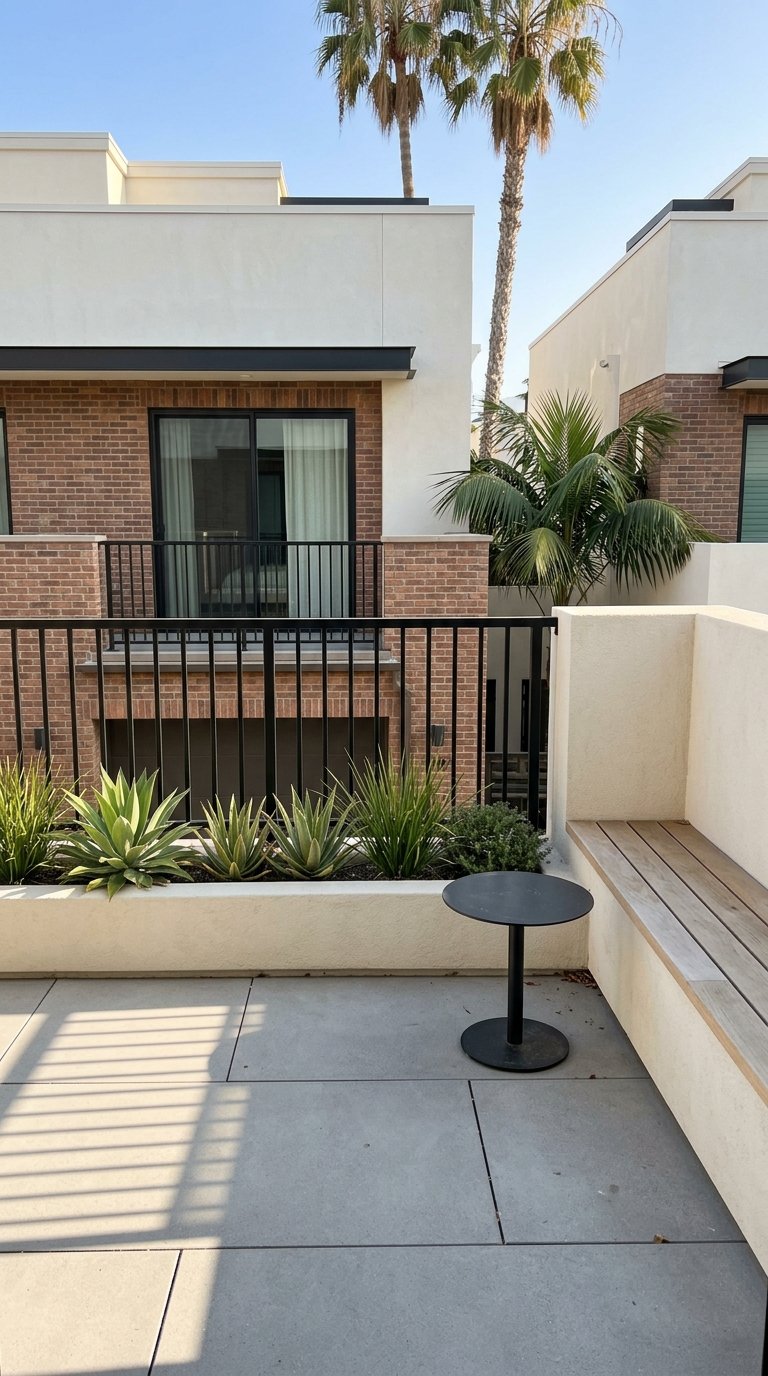
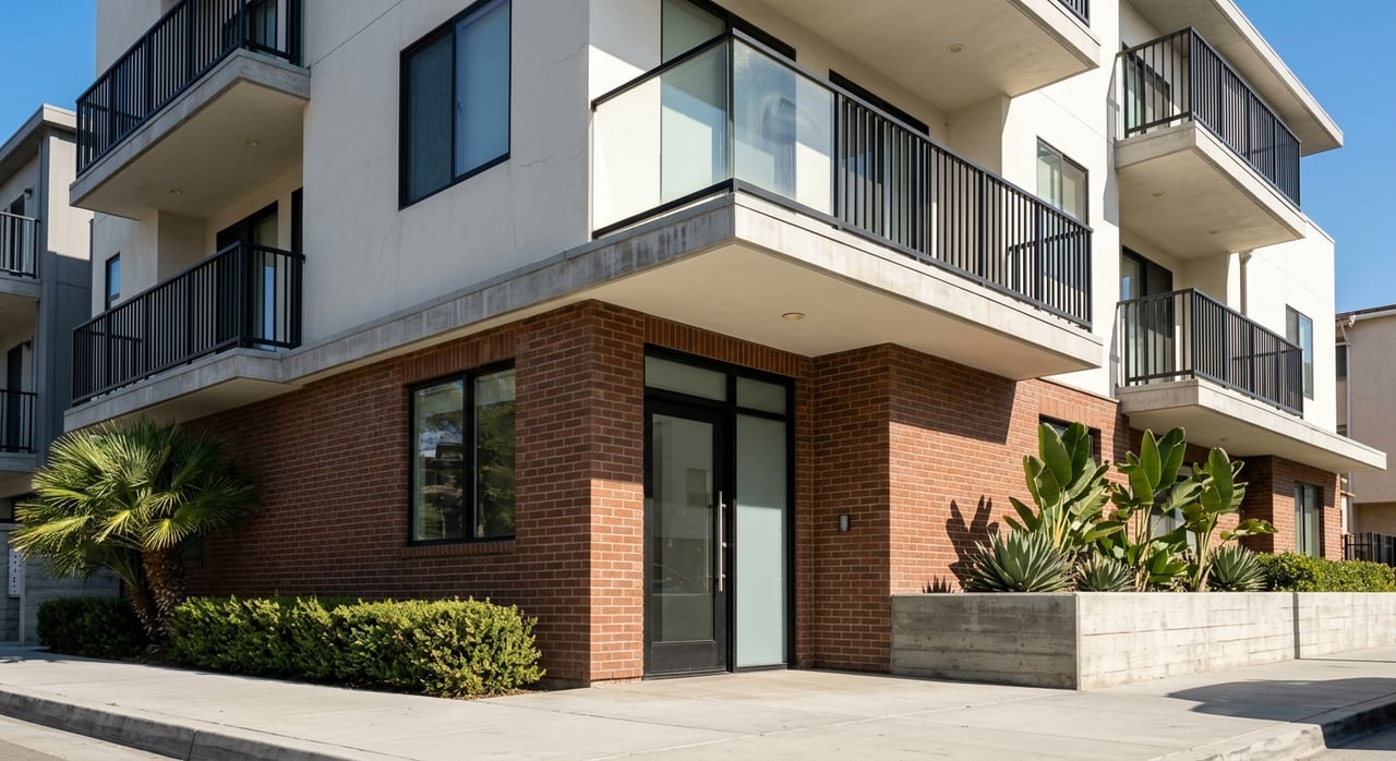
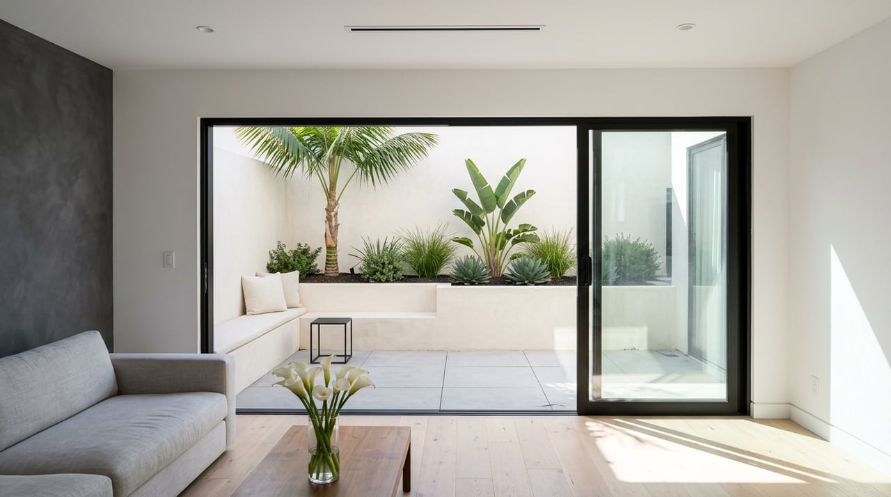
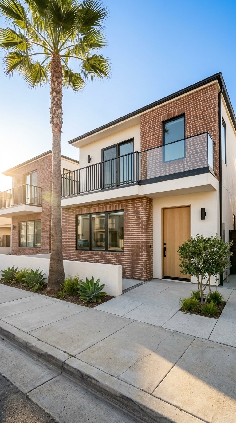
Walkable addresses in Manhattan Beach are in high demand. The downtown and North End include condos and low- to mid-rise multifamily buildings close to the Strand, along with single-family homes. These locations often command a premium compared to inland properties. If a shorter walk and daily beach access are priorities, build that tradeoff into your search criteria and budget.
Noise and seasonality
Beach and visitor activity add energy and periodic crowding, especially in summer and on holiday weekends. You may experience more foot traffic, event days, and fuller parking near the cores. Late fall and winter are generally calmer, aside from holiday periods. If you prefer steady quiet, consider how close you want to be to major access points and commercial blocks.
Safety and awareness
Manhattan Beach invests in pedestrian infrastructure and traffic calming, especially downtown and along the Strand. Residential areas are generally lower-crime relative to larger LA neighborhoods, while beach and tourist zones can see property theft and traffic-related incidents when visitor volumes rise. Review public safety updates from the Manhattan Beach Police Department and follow basic precautions, like securing bikes and vehicles.
- Visit the City of Manhattan Beach site for police and safety information.
- For school performance and statewide metrics, consult the California Department of Education.
Is it right for you?
You will likely love walkable Manhattan Beach if you want to:
- Take daily beach walks or runs on the Strand without driving.
- Handle coffee, casual meals, and quick errands within a few blocks.
- Live near community events and accept seasonal crowding as part of the vibe.
- Keep a car for regional trips, larger grocery runs, and commuting outside the city.
If you prefer more space, quieter streets, and easy driveway parking, you may find better alignment a few blocks inland. You can still reach the beach and downtown in a quick drive while enjoying a calmer daily rhythm.
How to assess walkability for an address
- Check Walk Score for a quick, address-level snapshot of walk, transit, and bike access.
- Map 5, 10, and 15 minute walking times in a mapping app from the home to the Pier, nearest market, and school.
- Confirm school walk routes using MBUSD attendance maps and the district site.
- Review parking and event calendars on the City of Manhattan Beach website if you are considering a block near the beach or downtown.
Ready to get specific about neighborhoods, walk times, and tradeoffs for your lifestyle. Reach out to a local advisor who knows block-by-block patterns and recent sales. If you want a plan tailored to you, connect with Ryan Shaw for a private consult.
FAQs
How walkable is downtown Manhattan Beach for daily errands?
- Many coffee shops, casual dining spots, personal care services, and small markets cluster within a 5 to 15 minute walk of the Pier area, with larger grocery runs often handled by a short drive.
Can you walk to schools in Manhattan Beach from the beach-adjacent neighborhoods?
- It depends on your address and school assignment, since MBUSD uses neighborhood-based boundaries, so confirm routes and times using district maps and the MBUSD website.
Will I need a car if I live near the Pier or North End?
- You can handle many errands, dining, and beach access on foot, but most residents keep a car for regional commuting, larger grocery trips, and destinations outside the core.
How is parking near the beach and downtown on weekends?
- Public lots, meters, and time-limited spaces serve the area, but availability tightens on summer weekends, holidays, and event days, so check the city’s parking rules before you go.
What is the Strand, and how does it affect daily life?
- The Strand is a multiuse path along the beach used by walkers, runners, and cyclists, making it a daily fitness and commute corridor that can get busy at peak times.
Are there transit options for getting around the South Bay without driving?
- Beach Cities Transit connects Manhattan Beach with neighboring cities and select hubs, and regional Metro connections usually require a transfer or short drive to rail or express lines.
Is Manhattan Beach safe for walking compared to other parts of LA?
- Residential areas are generally lower-crime relative to larger LA neighborhoods, with beach and visitor zones experiencing more property theft and traffic-related incidents during busy periods, so review city safety updates and use common-sense precautions.
City of Manhattan Beach website
Manhattan Beach Unified School District